Precision Engineering Starts with the Right Tools
We leverage a comprehensive suite of industry-leading software to provide advanced transportation planning, traffic engineering, simulation, and infrastructure design services. Our technical capabilities enable us to analyze existing conditions, evaluate future scenarios, optimize transportation networks, and develop practical, data-driven solutions.
Macro Traffic Analysis & Transportation Planning

PTV Visum
Strategic transportation planning, travel demand forecasting, multimodal network analysis, and mobility studies.
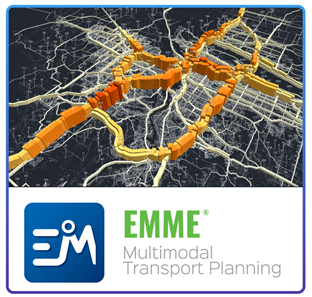
EMME
Advanced travel demand modeling and transportation forecasting for urban and regional transportation systems.
Vistro
Traffic impact assessments, corridor studies, and capacity analysis with efficient reporting capabilities.
Micro Traffic Analysis & Simulation
PTV Vissim
Microscopic traffic simulation for detailed analysis of vehicle, transit, bicycle, and pedestrian movements.
PTV Viswalk
Pedestrian and crowd flow simulation for transit stations, public facilities, and large developments.
SYNCHRO 11
Signal timing optimization, intersection analysis, and corridor performance evaluation.

SIDRA Intersection 9
Detailed operational analysis of signalized intersections, roundabouts, and interchanges.
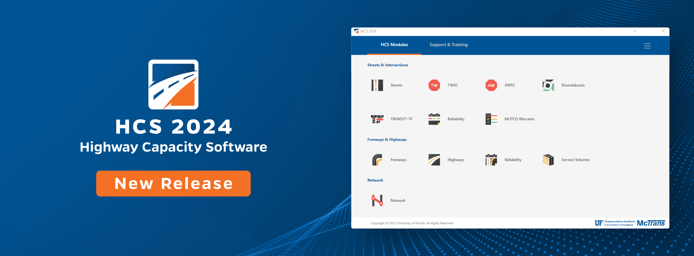
HCS+
Highway Capacity Manual (HCM)-based analysis for highways, urban streets, and intersections.
Design & Engineering Tools
AutoCAD
Production of precise engineering drawings, layouts, and technical documentation.

Civil 3D
Roadway design, grading, corridor development, utility coordination, and civil infrastructure modeling.

AutoTURN
Vehicle swept-path and turning movement analysis for passenger vehicles, buses, trucks, and specialized vehicles.

GIS
Geographic Information System tools supporting spatial analysis, mapping, and data visualization for transportation projects.
By combining advanced software platforms with extensive engineering expertise, we deliver reliable analyses, innovative solutions, and high-quality designs that support informed decision-making and sustainable transportation development.